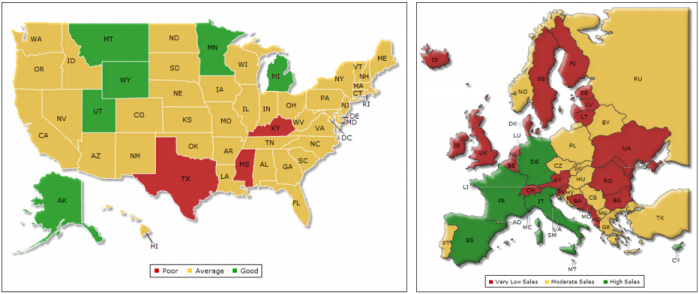
Flash maps are vector maps suitable for displaying data by geographical divisions, such as population distribution, electoral results, office locations, survey results, weather patterns, and real-estate sales. The Flash object library provides hundreds of maps, including maps of the world, continents, countries, European regions, USA states, and so on.
Figure 18-3 shows examples of Flash maps.
|
Figure 18-3
|